今回は、少し時事ネタから離れて、海外のリスク管理事情について取り上げます。米国連邦緊急事態管理庁(Federal Emergency Management Agency:以降「FEMA」)のホームページから自然災害の“洪水”に関する英語をみていきましょう。洪水は米国で季節や地域問わずに発生する、最も一般的かつ大きな経済的損失をもたらす自然災害と言われています。
1. Floods occur naturally and can happen almost anywhere. They may not even be near a body of water, although river and coastal flooding are two of the most common types. Heavy rains, poor drainage, and even nearby construction projects can put you at risk for flood damage.
出典:https://www.fema.gov/flood-maps
洪水は、自然現象としてどこでも発生します。川岸付近と海岸付近の洪水が最も一般的ですが、そのような水域周辺でない場所でも起こり得ます。豪雨、排水(下水)の不良、建設計画の近隣でさえ洪水被害を引き起こす危険性があります。
A body of water で「水域(水に関わる地理的な領域)」。river flooding 「河川の氾濫、外水氾濫、川付近の洪水」。coastal flooding「沿岸洪水、海岸付近の浸水や氾濫」。どれも名詞としてピッタリ当てはまる日本語ではないので、文脈によって訳を少し工夫する必要があります。
2. Flood maps show how likely it is for an area to flood. Any place with a 1% chance or higher chance of experiencing a flood each year is considered to have a high risk.
出典:https://www.fema.gov/flood-maps
洪水マップは、地域にどれくらいの洪水の危険性があるのかを示すものです。毎年1%、あるいはそれ以上の洪水の可能性のある場所はどこでも高い危険性があるとみなされます。
Flood mapsとは、地域コミュニティが、どのエリアが最も高い洪水のリスクがあるかを知るために利用する1つのツールで、FEMAがそのデータを更新しています。
chanceは「可能性」。Cambridge dictionaryでchanceを調べると“a possibility that something negative will happen”と記載されています。日本語でチャンスは、「好機」という意味になりますが、英語ではもう少し意味の範囲が広く、ネガティブな文脈でも使用されます。
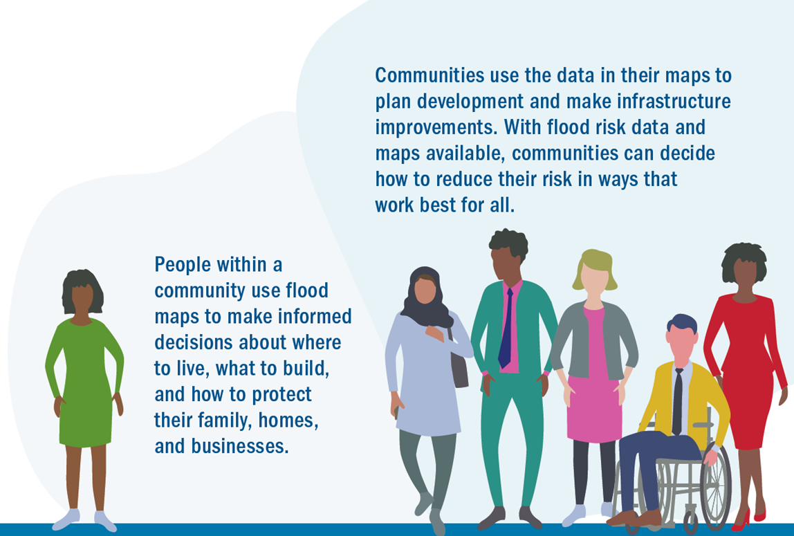
3. People within a community use flood maps to make informed decisions about where to live, what to build, and how to protect their family, homes and businesses.
出典:https://www.fema.gov/flood-maps
地域住民は、適切な居住場所、建物、どのように家族、家、ビジネスを守るか判断する際に、洪水マップを利用します。
Informed decision「十分に説明を受けた上での決断」。同様の表現として、医療用語ではInformed consent「インフォームド・コンセント(患者が十分な説明を受けた上で、受ける医療行為について合意する)」が日本語として定着していますね。
4. Communities use the data in their maps to plan development and make infrastructure improvements. With flood risk data and maps available, communities can decide how to reduce the risk in ways that work best for all.
出典:https://www.fema.gov/flood-maps
地域では、街の開発やインフラの改善のために、洪水マップのデータを利用します。
入手できる洪水リスクのデータとマップを利用することで、地域社会はリスクを軽減する最善の方法を判断することができます。
available 「利用できる、手に入る」。名詞の後ろに置くことが多い形容詞であることに注意。In ways that~ 「~の(ような)やり方で」。
5. The United States has thousands of miles of levee systems built to help contain or control the flow of water to reduce the risk of flooding; but not all levees are alike. For example, some levees around residential areas were originally built long ago to reduce the risk to farmland. Other levees in urban areas were designed to reduce the impacts of flooding, but only from a certain size flooding event.
出典:https://www.fema.gov/flood-maps/living-levees
アメリカでは何千マイルもの堤防(のシステム)があります。洪水の危険性を軽減するために水を管理したり、抑制したりするためのものですが、すべての堤防がそのような目的を満たしているわけではありません。例えば、住宅エリアの堤防は、もともとは農地への危険性を軽減するために作られたものです。また、都市部の堤防は、もともと洪水の影響を軽減するために設計されたものではあるものの、(一般的な)ある程度の洪水の規模を想定したものでしかありません。
levee は「堤防」。containは「含む」という意味で一般的によく知られていますが、ここでは「食い止める、封じ込める」。災害を管理する際にcontrol「管理する」に近い意味として使われます。contain the spread of the virusなど、コロナウイルスに関する文章でも頻繁に見られます。
6. Coastal communities face a range of unique flooding hazards including storm surge, waves and erosion—all of which can cause extensive damage to homes, businesses and infrastructure.
出典:https://www.fema.gov/flood-maps/coastal
海岸付近の地域では、高潮や高波、浸食など、他とは異なる洪水の危険性があります。これらはすべて、家やビジネス、インフラに多大な被害を与えうるものです。
storm surgeは「高潮」。surgeは名詞で「急上昇」という意味ですが、surge in profit/productivity/crime など 前置詞inとともに、様々な「~の急増」という意味で使われます。最近のニュースではsurge in oil pricesと言われていました。erosionは 「浸食」。
7. Risk MAP supports community resilience by providing data, building partnerships, and supporting long-term hazard mitigation planning.
出典:https://www.fema.gov/flood-maps/tools-resources/risk-map
リスクMAPは、データの提供、連携の構築、長期的なリスク軽減計画によって、地域のレジリエンスを支えます。
Risk MAP:Mapping, Assessment and Planning「リスクマッピング(危険性の地図化)、アセスメント(リスクの特定分析と評価)、プランニング(リスク管理計画)」の3つのそれぞれの頭文字の略。
8. Through Risk Mapping, Assessment and Planning (Risk MAP) , FEMA is updating the nation’s coastal Flood Insurance Studies (FIS) and Flood Insurance Rate Maps (FIRMs, or flood maps), where appropriate, and publishing new flood maps of densely populated areas that were not previously mapped. With these new and updated maps, communities can make floodplain management decisions based on the best available scientific information.
出典:https://www.fema.gov/flood-maps/coastal
リスクマッピング、アセスメント、プランニング(3つ合わせてリスクMAP) を通して、FEMAは国の海岸付近の洪水保険調査と洪水保険率マップ(FIRMsもしくは洪水マップ)を更新し、以前にはマッピングされていなかった人口が密集した地域の新しい洪水マップを必要に応じて発表しています。これらの新しく更新されたマップを使い、最善の科学的情報に基づいて、地域社会はどのように氾濫原を管理すべきかを決定することができます。
FIS:Flood Insurance Studies「洪水保険調査」の略。
FIRMs, or flood maps : Flood Insurance Rate Maps「洪水保険率マップ」の略。
米国では、洪水は広範囲にわたり甚大な経済損失を引き起こす自然災害として、連邦政府が保険者となり、洪水リスクを保証する公的保険制度、NFIP(連邦洪水保険制度)があります。その運営を国土安全保障省の一部であるFEMAが担っています。 floodplainは「氾濫原」。